evernoob
Reactionary
- Joined
- May 21, 2020
- Member Number
- 1083
- Messages
- 4,597
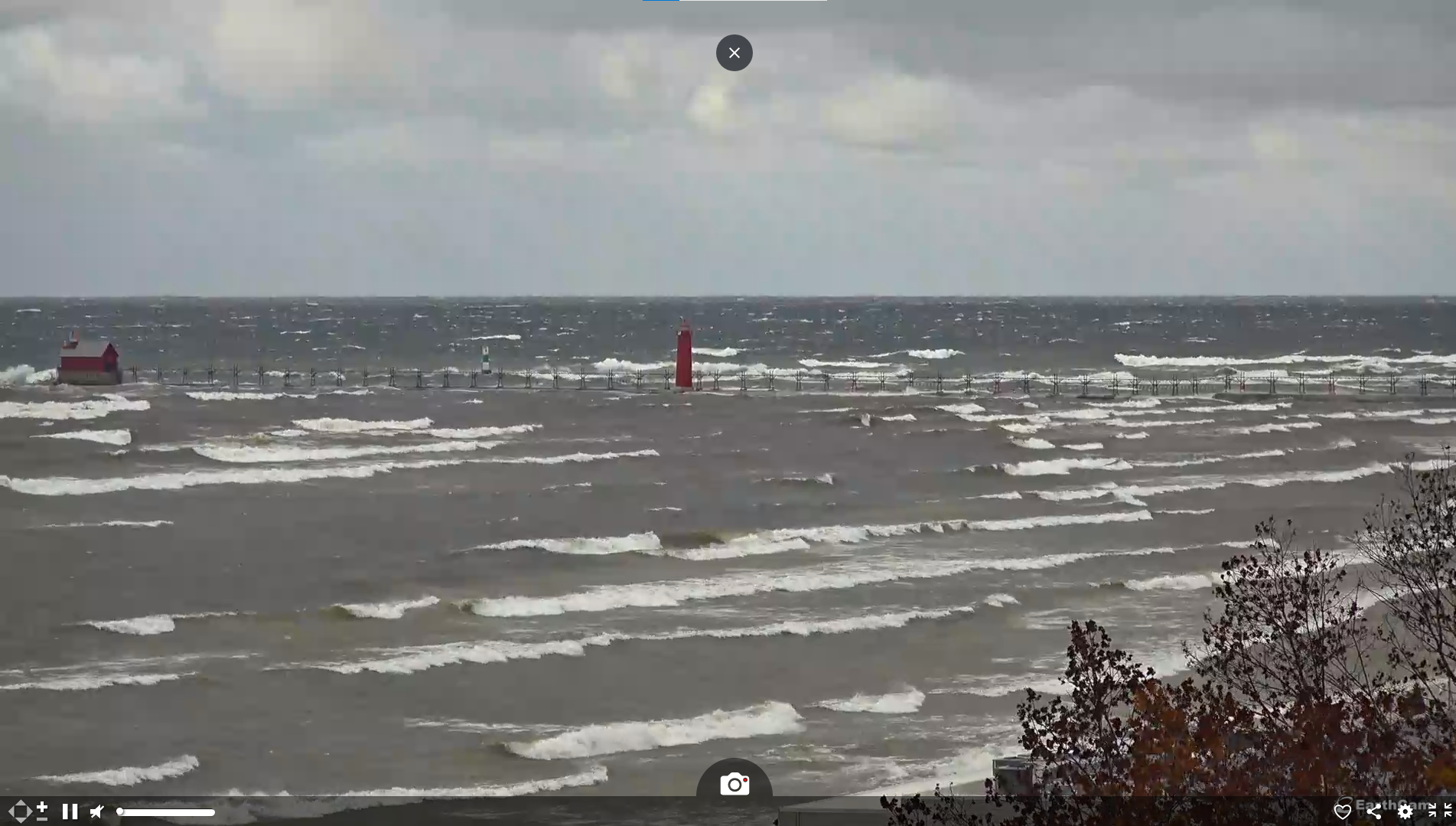
Grand Haven
https://www.earthcam.com/usa/michiga...m=lakemichigan
Marine Traffic - Notice how they are running the lee shoreline. Those are almost all ore boats making the last few runs as hard as they can until Jan 15 when the Soo closes.

Lake Superior follows the same pattern, notice the cluster to the NorthWest, that's Thunder Bay with all the Salties and grain boats anchored in the harbor, riding it out. See the two boats down East of the Keweenaw Peninsula. Both oreboats, one the 1000' Indiana Harbor.

https://www.earthcam.com/usa/michiga...m=lakemichigan
Marine Traffic - Notice how they are running the lee shoreline. Those are almost all ore boats making the last few runs as hard as they can until Jan 15 when the Soo closes.
Lake Superior follows the same pattern, notice the cluster to the NorthWest, that's Thunder Bay with all the Salties and grain boats anchored in the harbor, riding it out. See the two boats down East of the Keweenaw Peninsula. Both oreboats, one the 1000' Indiana Harbor.
Last edited:


