Weasel
Red Skull Member
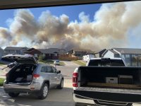
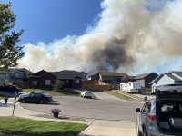
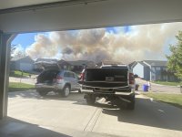
Fire and Smoke Map
PennCo Public Safety Hub - Pennington County, South Dakota
Fallback link for browsers that don't support iframes ...
 www.pennco.org
WCSD-GPC
www.wildcad.net

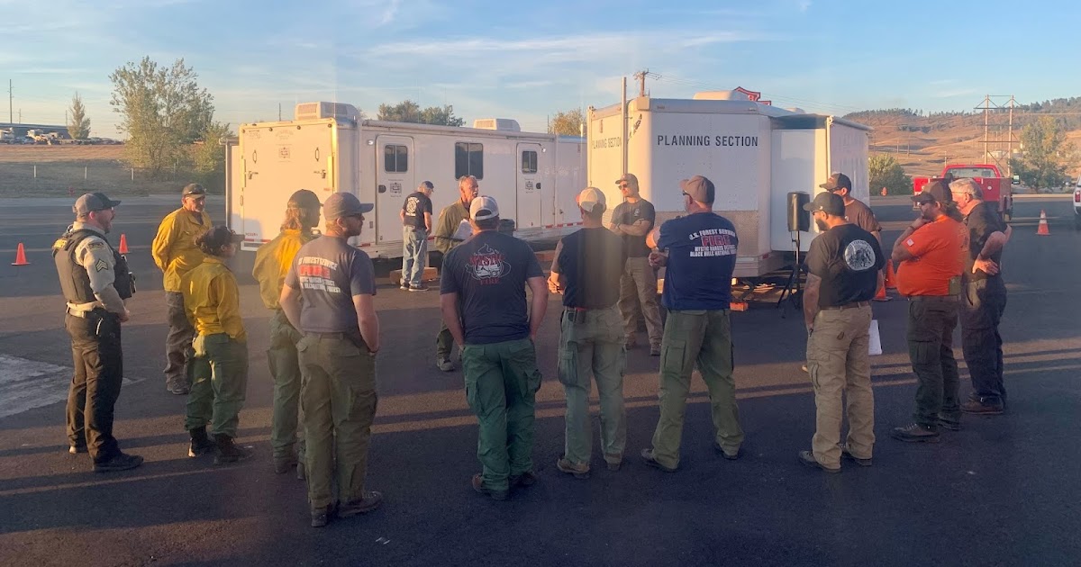
Auburn Fire at 70% containment
UPDATE (10/7/21 @ 1:45 p.m.): According to Great Plains Fire Information, the Auburn Fire has been mapped at 968.17 acres, with containment at 70%. Due to accurate mapping, the #AuburnFire
InciWeb the Incident Information System (*nothing posted here yet)
Scatter info above but I can find so far.